

Restoring Landscapes. Building Resilience. Driving Collaborative Solutions.
Our Services
-
Restoration & Design Services
We specialize in developing ecologically grounded restoration plans and supporting Natural Resource Damage Assessment and Restoration (NRDAR) cases across the U.S. Our work includes ecological assessments, conceptual design, cost estimation, planting design, GIS analysis, and graphic communication to support trustees and stakeholder partners in restoring impacted resources.
-
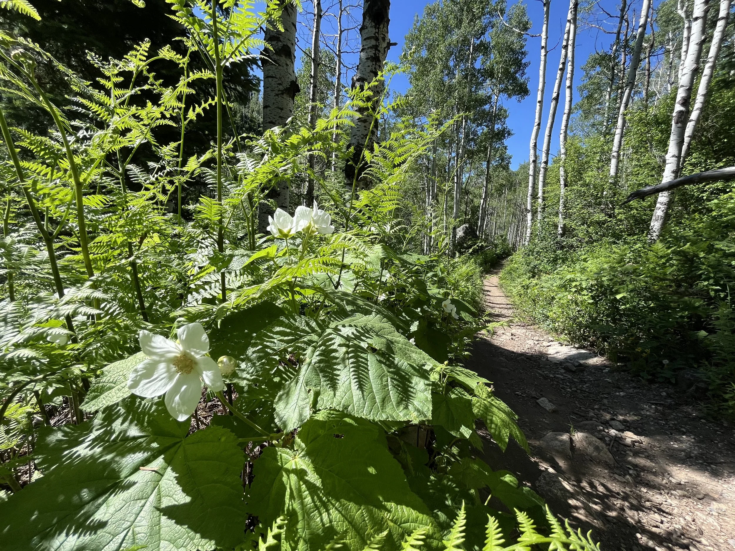
Integrated Watershed Planning
We lead integrated watershed-scale planning efforts to reduce risk from wildfires, floods, and drought and protect ecological and community assets. Our approach combines GIS-based hazard and susceptibility analysis, community engagement, and project identification to guide resilient watershed management.
-
Collaborative Program & Partnership Development
We bring people together to align goals, resources, and science across agencies, communities, and geographies. Our collaborative leadership supports long-term stewardship, strategic planning, and adaptive management frameworks that are actionable and rooted in science. We also help identify financial partners, pursue grant opportunities, and develop funding strategies to ensure the sustainability and impact of shared efforts.
-
Science, Monitoring & Adaptive Management
We design adaptive management frameworks, monitoring plans, and geospatial tools that support data-informed decision making. Our work connects field data, maps, and science through tools like StoryMaps—making complex information accessible to partners, funders, and the public. We incorporate experimental restoration and targeted data collection to test assumptions, refine strategies, and inform ongoing management in dynamic ecosystems.
Project Examples
Restoration & Design Support
NRDAR Support. Currently supporting Natural Resource Damage Assessment and Restoration (NRDAR) cases in New Mexico and Oklahoma by identifying restoration projects, developing ecologically grounded conceptual restoration plans, cost estimates, and visual tools to foster interagency coordination.
Headwaters Restoration Design. Working with Watershed Science & Design on a restoration design to mitigate legacy disturbances and improve headwater resilience. Role includes development of conceptual site diagram, graphics, native planting plan, and flood/fire mitigation strategies.
Collaborative & Strategic Program Development
Yampa River Collaborative Coordination. Coordinate a multi-stakeholder initiative focused on sustaining the Yampa River’s ecological, agricultural, and recreational values through integrated water management.
Stewardship Program. Designed a science-based adaptive management and stewardship framework to integrate monitoring data, identify priority actions, and guide long-term investment across watersheds.
Science, Monitoring & Adaptive Management
Road Sediment Input Assessment – Northern New Mexico. Used GIS to model sediment transport and identify critical intervention points for improved water quality.
Wildfire Ready Watershed Plans – Colorado
Synthesized spatial data to evaluate risk to assets after wildfire and identify restoration needs, supporting prioritization of treatment areas.Adaptive Management Program Framework – Colorado
Developed tools and protocols to link monitoring data with decision-making processes and project tracking systems.
Integrated Watershed Planning
Upper Arkansas River Partnership. Led a comprehensive planning effort integrating existing studies into a unified, action-driven framework to guide future restoration and resilience investments.
Wildfire Ready Watersheds. Conducting a spatial susceptibility analysis and project identification in two wildfire-prone watersheds, supporting cross-jurisdictional planning and stakeholder alignment.